
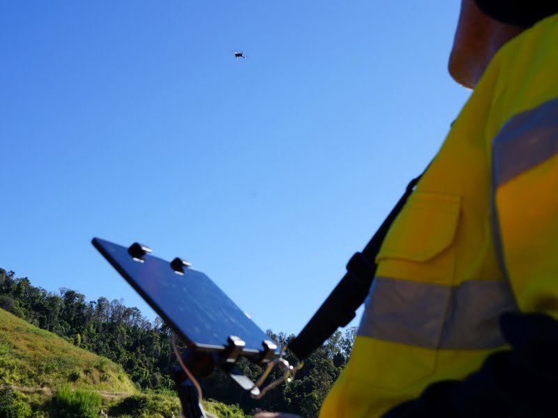
The NSW government is using drones to survey and 3D map flood affected areas in the state, in a bid to reopen several sections of road which have been closed since the March floods.
Drones are being used extensively on the Oxley Highway in the state’s north after dozens of landslips cut access between Forbes River Road and Gingers Creek Roadhouse.
The government hopes the data can be used for the temporary reopening of roads and permanent rebuilds.
“Our drones have allowed us to get a flying start on understanding exactly what damage has been done so our engineers can work out what is required to fix it – from how many tonnes of rock and debris need to be removed to the data we need to build 3D modelling of the slopes affected,” said Deputy Premier and Minister responsible for flood recovery John Barilaro.
“Best of all, they can take images from multiple angles without putting workers’ safety at risk.”
Transport for NSW began trialling drone technology in 2019 for the management of incidents, congestion, assets and equipment. It expanded the program to disaster response, including the 2020 Blue Mountains bushfires.
“Our flying squad is being put to good use right across Transport – from determining the right dimensions of a new bridge to assessing the condition of a fauna fence or inspecting difficult to reach infrastructure such as the top of bridges or overhead power lines,” said Minister for Regional Transport and Roads Paul Toole.
Mr Toole said drones offered safer access to unstable sites damaged by last month’s floods.
“Drones are playing a critical role in our efforts to restore access on key roads like the Oxley as quickly as possible, allowing us to get a close-up view of the damage well before it was safe to send crews into these areas,” Mr Toole said.
“Access is still dangerous and difficult in many areas where we’ve seen these landslides but drones have meant we can determine the full extent of damage that can’t be seen from the road.”
Do you know more? Contact James Riley via Email.