
CSIRO has signed on to a world-class satellite research program that will deliver new data to local companies and governments and put the agency at the “forefront of Australia’s civilian space science sector”.
The agency signed an agreement with UK-based Surrey Satellite Technology Ltd (SSTL) to gain a 10 per cent share of the “tasking and acquisition” of its new NovaSAR-S satellite, in a deal worth $10.45 million over seven years.
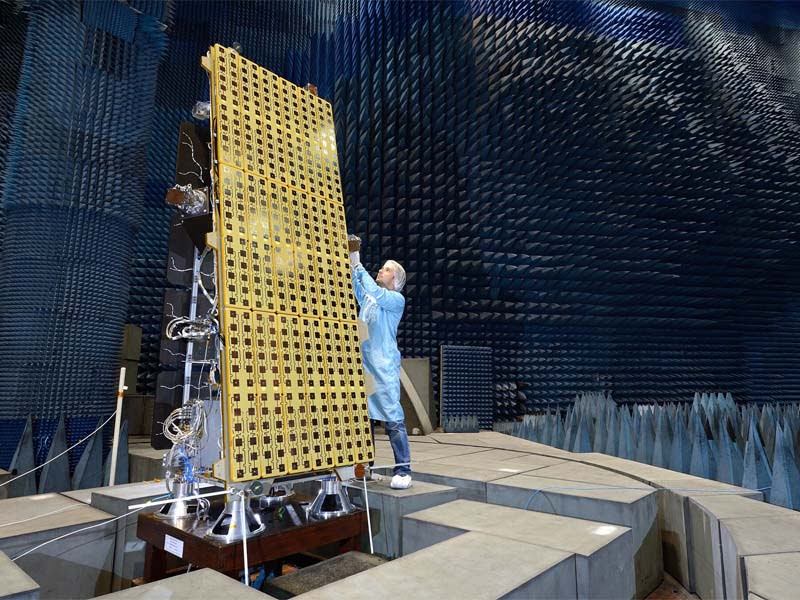
The NovaSAR-S is a small radar satellite that provides high resolution images of anywhere on earth from space which can be taken day or night and through cloud cover, making it especially useful in tropical and cloud or smoke-effected areas.
The satellite’s payload is to be supplied by Airbus UK, while its Australian operations would be managed in the space program of CSIRO’s Astronomy and Space Science Group.
Through the investment, CSIRO will direct the satellite over Australia, and select the images it takes, download and process that data and then release it to the wider research community.
Industry Minister Arthur Sinodinos – who is currently on extended sick leave, said in a statement that the new deal would drive innovation and economic growth.
“This agreement … will help CSIRO lead our nation’s development in the technical and analytical capability of modelling, monitoring and analysing our natural resource management and approaches to infrastructure,” Senator Sinodinos said.
“This will also lead to better and more informed support for policy and decision-making and, ultimately, our economic development as a nation.”
The NovaSAR satellite will launch by the end of the year. The CSIRO plans to put out a call for proposals for where to position the satellite, with only one condition: the results must be made public.
Executive director of Digital, National Facilities and Collections at CSIRO Dr David Williams said this will serve as an experiment of sorts to test this new technology and its usefulness in Australia.
“This is a research experiment over four or five years so the community can learn and understand how to use the data. Then we’ll make the decision about what we’ll do longer-term, on whether it’s got legs in terms of operational systems in Australia,” Dr Williams told InnovationAus.com.
“The technology we’re going to use allows all of the community to be involved, to build up the experience of the value of this type of data in very specific applications,” he said.
The satellite has a number of very practical applications in Australia, he said, including rapid natural disaster identification, monitoring bushfires, improving infrastructure and agriculture mapping in Northern Australia, monitoring crops and detecting illegal deforestation.
All this is made possible by the satellite being able to capture images any time, in any conditions, Dr Williams said.
“It’s a good way to get good experience of it in the community and allow people to address very specific applications for it, all the way from tropical forest monitoring through to water level monitoring and natural disasters,” he said,
“These are things where cloud and smoke are a problem, and this will let you get a clear picture of what’s happening on the ground.”
Dr Williams said one possible project that would demonstrate the NovaSAR capabilities would be in gaining imagery of specific parts in the cycle of crop growth. This would require data to be gathered at specific times, regardless of the conditions or cloud cover.
The satellite technology is also able to closely monitor coastal waters, which should interest the federal government and the department of immigration and border protection.
The satellite will be launched long before Australia’s space agency is created, but its results could help to inform the body on whether it’s worth making a bigger investment in the satellite technology, he said.
“It will inform the space agency, which will get money and look at whether to build any technology. This will inform if this is an area to look at or think about,” Dr Williams said.
SSTL commercial director Luis Gomes said the NovaSAR satellite will be especially useful in a country like Australia.
“Our partnership on the NovaSAR mission with CSIRO will greatly enhance Australia’s sovereign earth observation capability. The NovaSAR-S technology enables data collection 24-7, regardless of daylight or weather conditions, which is particularly important for this continent with an area with a tropical climate and a large coastline territory,” Mr Gomes said.
“We look forward to working with CSIRO as one of our key partners over the next seven years to provide cutting-edge geospatial data for Australia’s benefit.”
Do you know more? Contact James Riley via Email.