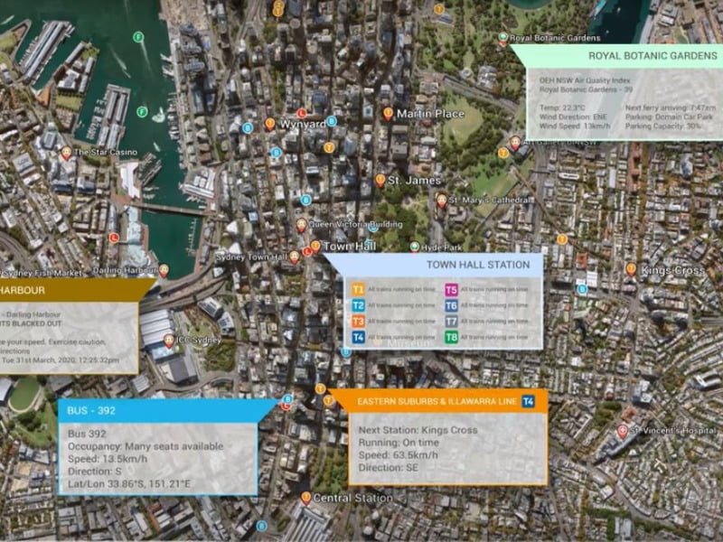
NSW Customer Service Minister Victor Dominello has unveiled the NSW Spatial Digital Twin, promising the tool would improve urban planning by providing real-time information and visualisation of urban infrastructure both above and below ground.
Mr Dominello said the project was “truly transformational technology”, containing the locations of 22 million trees with height and canopy attributes, almost 20,000km of roads in 3D, 7,000 3D strata plans and 546,206 buildings.
The government said the digital twin would enable engineering construction projects to planned, built and operated virtually before being physically realised, boosting confidence in projects and improving their performance by enabling them to be optimised before construction commenced.
NSW Spatial Services said that while the primary focus of the Digital Twin was to aid infrastructure planning and delivery, it would benefit service delivery, environmental management, natural resource management, emergency management and counterterrorism.
Mr Dominello said it was primarily a tool for industry and the community. “You need to use this asset to get your advantage, not just here in Australia but around the world. Leverage off this and you increase your bottom line.”
The digital twin concept was coined by Dr Michael Grieves and John Vickers at the University of Michigan in 2002. A digital twin is a digital replication of a real world system that is able to provide valuable information about the state of that system by having access to an enormous amount of data, both static and real-time, about the system.
In 2017 IT research firm Gartner named digital twin one of the one of the top 10 strategic technology trends.
Development of the NSW Spatial Digital Twin follows a recommendation of the 2018 State Infrastructure Strategy that set out the government’s priorities to 2038.
It called for an upgrade of the state’s Foundation Spatial Data Framework from a two-dimensional map to a four-dimensional model (3D + time). While the official launch was today, the Digital Twin went live on the NSW Spatial Services website in February 2019.
At launch, the NSW Spatial Digital Twin covers only the council areas in the Western Sydney City Deal: the Blue Mountains, Camden, Campbelltown, Fairfield, Hawkesbury, Liverpool, Penrith and Wollondilly.
But Mr Dominello said there were plans to extend it state-wide and beyond, in collaboration with other the federal and other state governments. (City Deals are partnerships between federal, state and local governments aimed at making cities more productive and liveable).
The digital twin can be accessed by any browser and the source data is held in the various datasets, so any change in that data is immediately reflected in the digital twin.
CSIRO’s Data 61 division has been responsible for building the system that enables the visualisation of the underlying data, using its TerriaJS platform. Data61’s MAGDA technology enables data owners to restrict access to specific types of data to authorised users.
While the NSW Spatial Digital Twin uses many existing datasets some new ones have been created specifically for the project.
Hardcopy plans for residential strata properties in the coverage area are being digitised, enabling details of these to viewed through the portal, down to the location of individual units within the property.
A 3D aerial scan of the central Western Sydney area has been taken and mapped so that there is digital data on the precise location and size of all the buildings, linked to the visual appearance of those buildings. Data61’s Web Spatial Systems Group leader Mats Henrikson, told InnovationAus it was the world’s largest 3D scans.
“They take a series of photos, and an algorithm turns those into 3D objects, so you get a 3D model of the city.”
Mr Henrikson said the team was looking to expand into other applications such as bushfire prediction. Combining terrain data with temperature, wind, soil moisture data could enable accurate predictions of the speed and direction in which a fire might spread.
The digital twin could also be useful for anyone looking to move house, he said. “I recently bought a house and I could see where the school was, where there was a park. And I have had issues with flooding in the past, so I could see where the creeks were.” There is also some property pricing information included.
Do you know more? Contact James Riley via Email.